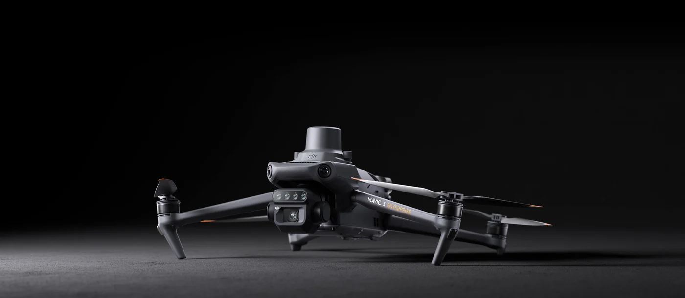
DJI Mavic 3M Multispectral
- Two affordable replacements with small fee
- 4 × 5MP Multispectral Camera
- 20MP 4/3 CMOS RBG Camera
- Centimeter-level RTK Positioning
- Realtime Terrain-Follow
- DJI SmartFarms Software
Warranty :
DJI Official 1 Year Warranty
Distributor :
DJI Authorized Dealer
Estimated Delivery :
Delivery Will be Within 7 Days
DJI Mavic 3 Multispectral
Effective aerial surveying needs to see the invisible. That's why Mavic 3 Multispectral has two forms of sight. It combines an RGB camera with a multispectral camera to scan and analyse crop growth with total clarity. Agricultural production management requires precision and data, and Mavic 3M delivers both.
Compact and Portable
Foldable for easy storage
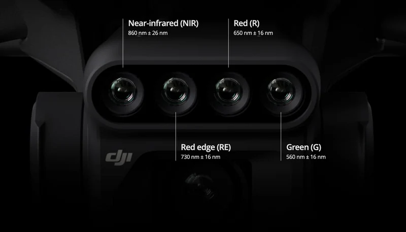
Multispectral Camera
4 × 5MP
G/R/RE/NIR
Safe and Stable
Omnidirectional Obstacle Avoidance
15km Transmission Distance
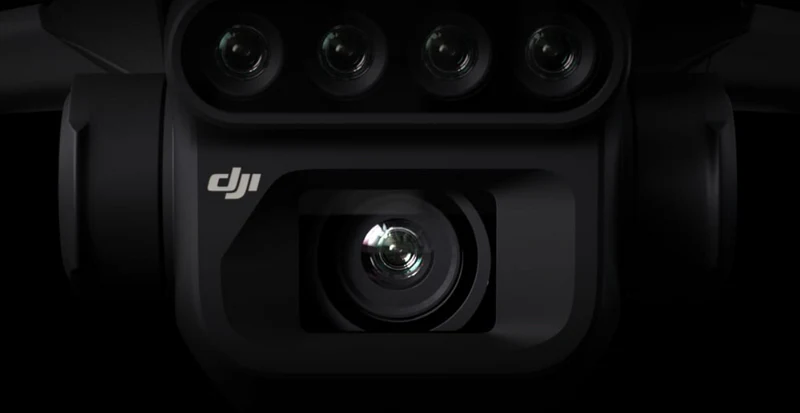
RGB Camera
20 MP
4/3 CMOS, mechanical shutter
Precise Positioning
Centimeter-level RTK positioning
Microsecond-level time synchronisation
Efficient Aerial Surveying
Up to 200 hectares per flight
Multispectral + RGB imaging system
Highly Integrated Imaging System
Newly upgraded imaging system with one 20MP RGB camera and four 5MP multispectral cameras (green, red, red edge, and near infrared). Enables applications such as high-precision aerial surveying, crop growth monitoring, and natural resource surveys.

5MP Multispectral Camera
Mavic 3E's wide-angle 4/3 CMOS, 20MP sensor has a mechanical shutter to prevent motion blur and supports rapid 0.7-second interval shooting. Complete mapping missions with extraordinary efficiency without the need for Ground Control Points.
RGB Camera Characteristics
4/3 CMOS
20MP image sensor
1/2000s
Fastest mechanical shutter speed
0.7s
High-speed busrst with RGB camera is used
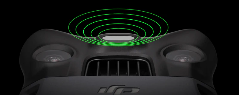
Sunlight Sensor
The built-in sunlight sensor captures solar irradiance and records it in an image file, allowing for light compensation of image data during 2D reconstruction. This results in more accurate NDVI results, as well as improved accuracy and consistency of data acquired over time.
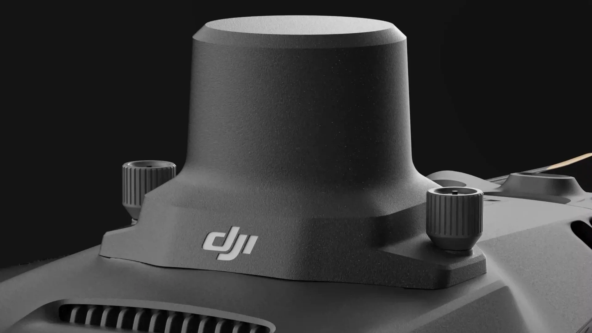
RTK Module
Accurate images that capture every pixel
Mavic 3M with RTK module for centimeter-level positioning. Flight control, the camera, and the RTK module sync in microseconds to accurately capture the location of each camera's imaging center. This enables Mavic 3M to do high-precision aerial surveying without using ground control points.
Efficient and Reliable Battery Life
Ultra-long battery life, fast bursts
43 Minutes
Cruise time
200 Hectare
A single flight can complete mapping operations over an area of 200 hectares.
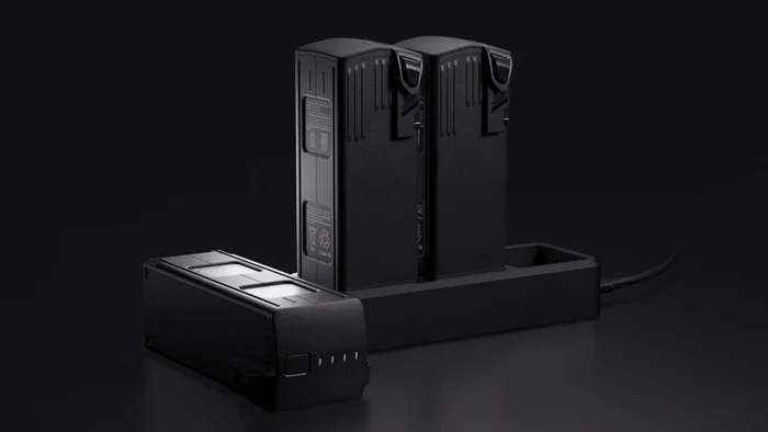
Fast Charging
100W Battery Charging Hub
High-efficiency fast charging
88W Fast Charging
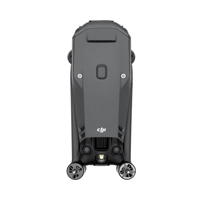
Aircraft
Stable Signal, Smooth Image Transmission
The O3 transmission integrates two transmitting signals and four receiving signals to support 15km ultra-long transmission distances.
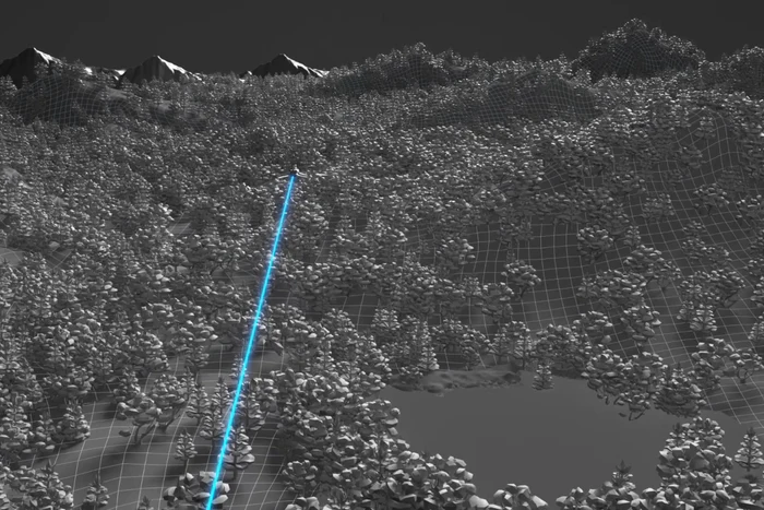
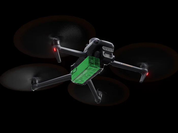
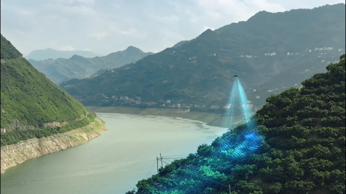
Omnidirectional Obstacle Sensing, Terrain-Follow Aerial Surveying
The aircraft features multiple wide-FOV vision sensors that accurately detect obstacles in all directions for omnidirectional obstacle avoidance. The terrain-follow aerial surveying can be easily performed in steep-slope landscapes.
Applications
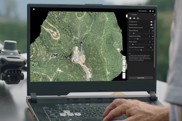
Orchard Mapping
Mavic 3M allows terrain-follow aerial surveying of orchards, even on sloped landscapes. Together with DJI Terra or DJI SmartFarm Web to reconstruct high-resolution orchard maps, automatically identify the number of trees, distinguish trees from other obstacles or objects, and generate three-dimensional operation routes for agricultural drones, making operations safer and more efficient.
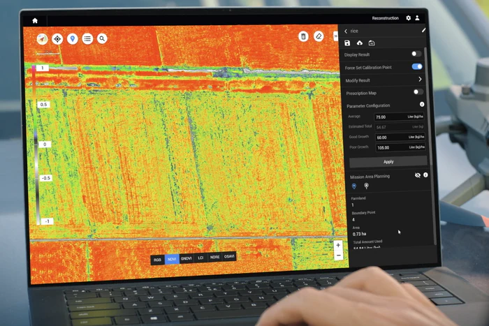
Guide Variable Rate Applications
For rice fertilisation, cotton growth regulation, and potato foliar fertiliser spraying, the Mavic 3M is used to obtain multi-spectral images of crops. DJI Terra or the DJI SmartFarm Web can then generate NDVI and other vegetation indices maps, capturing differences in crop potential and generating prescription maps that allow agricultural drones to execute variable-rate application. This ultimately allows users to reduce costs, increase yield, and protect the environment.
Intelligent Field Scouting
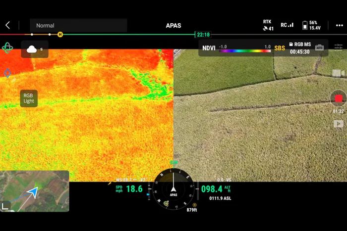
The Mavic 3M can carry out automatic field scouting. The field scout images can be uploaded to the DJI SmartFarm Web [6] in real time through a 4G network. It can find abnormalities, such as emergence deficiencies, weed pressure, and crop lodging in a timely manner. It can also conduct intelligent analyses, such as cotton seedling identification and rice production testing, using AI identification for real-time sharing of crop growth information, guidance of agronomic activities, and easy management of 70 hectares of farmland by one person.
Environmental Monitoring and Natural Resources Survey
The Mavic 3M can also be used in environment and natural resource surveys, such as water enrichment monitoring, forest distribution surveys, urban green area surveys, and more.
Specifications
What's Included
Aircraft
x 1
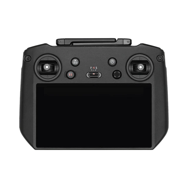
DJI RC Pro Enterprise
x 1
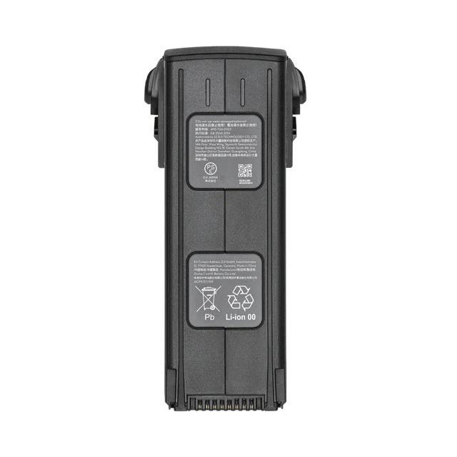
Mavic 3 Intelligent Flight Battery
x 1
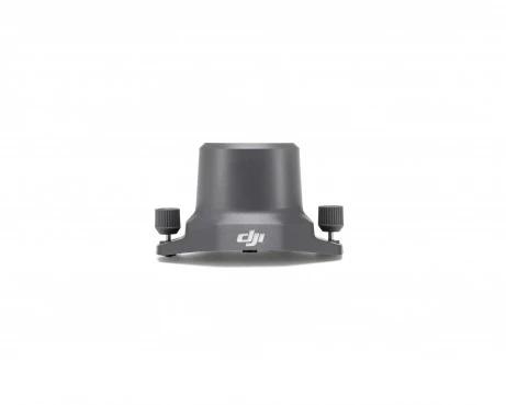
DJI Mavic 3 RTK Module
x 1
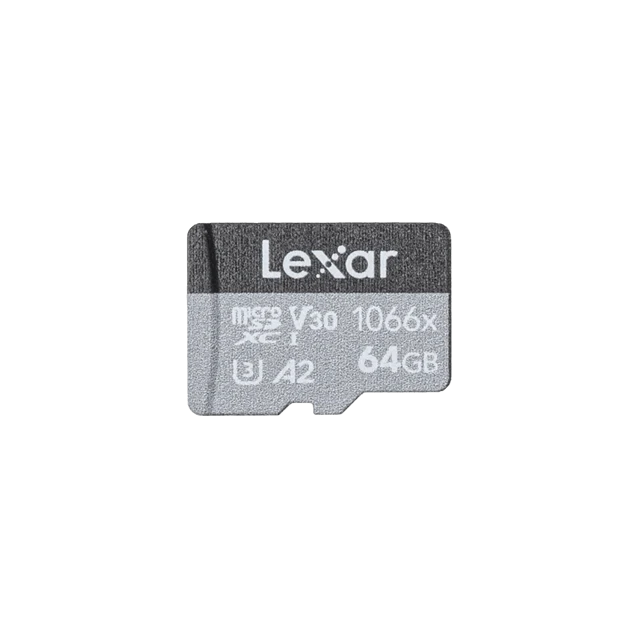
microSD Card 64GB
x 1
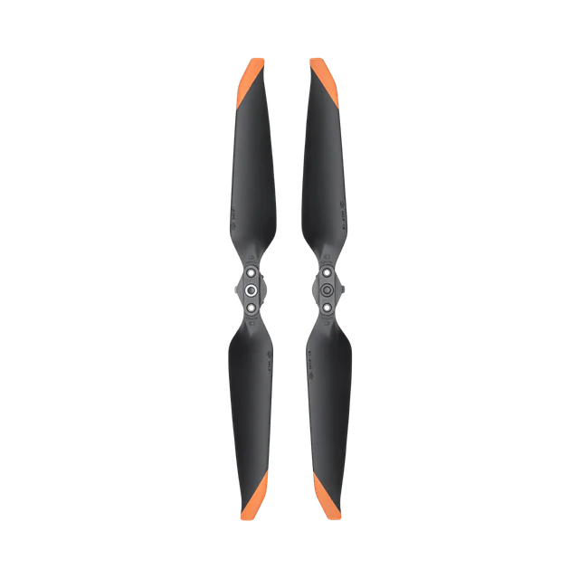
Mavic 3 Enterprise Series Propellers (Pair)
x 3
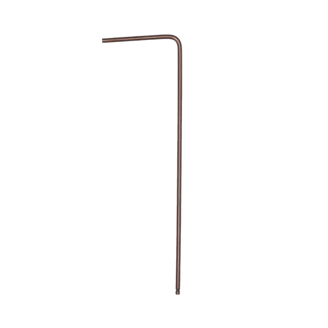
Screwdriver
x 1
USB-C Power Adapter (100W)
x 1
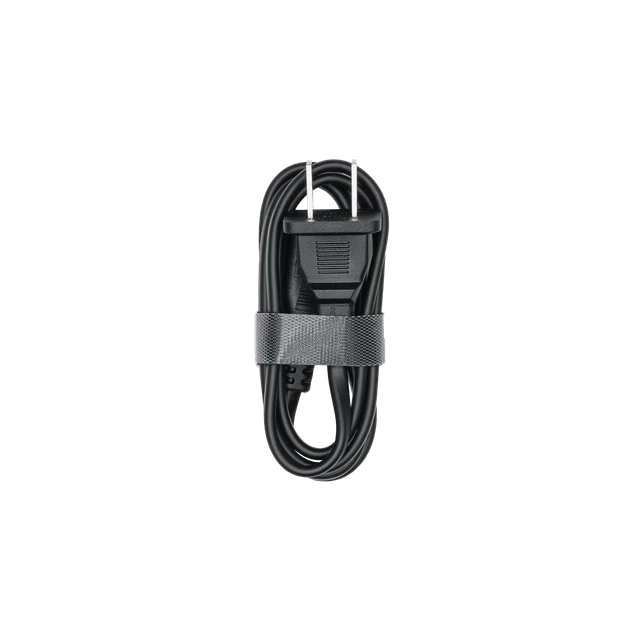
100W Power Adaptor AC Cable
x 1
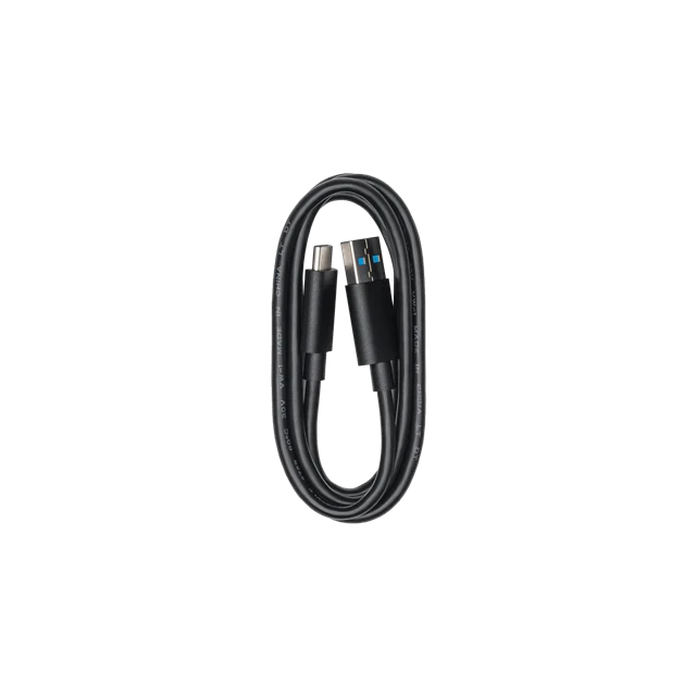
USB-C Cable
x 1
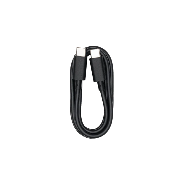
USB-C to USB-C Cable
x 1
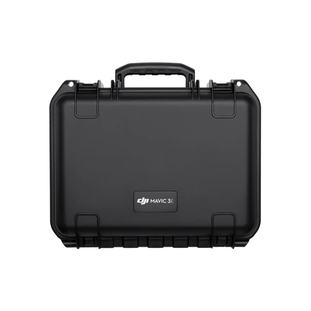
Protector Case
x 1
Visible focal length: 12.29 mm (focal length); 24 mm (35mm equivalent focal range)