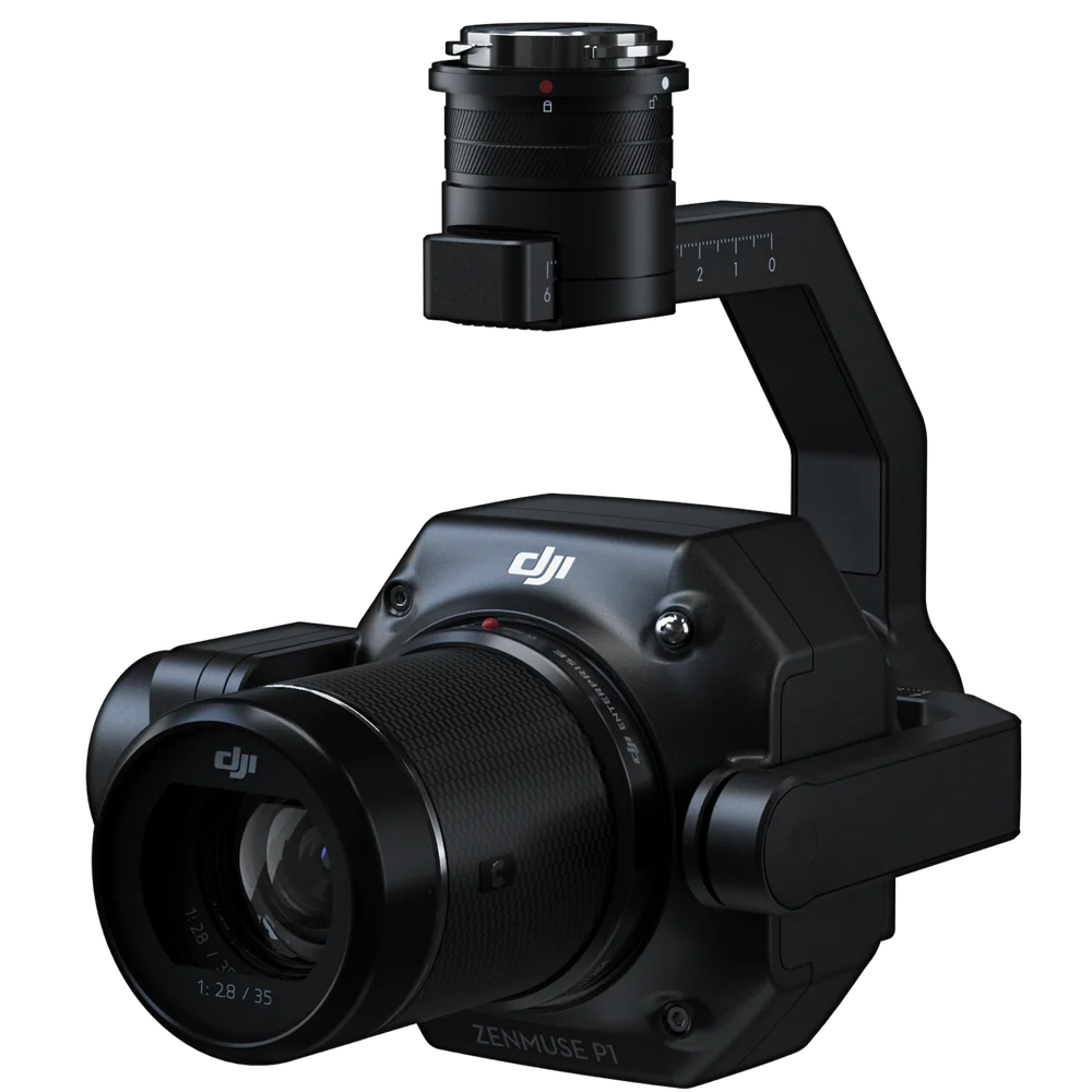
DJI Zenmuse P1 Worry-Free Basic Combo
- Includes 1 Year of DJI Care Enterprise Basic
- Accuracy without GCPs: 3cm horizontally /5cm vertically
- Global Mechanical Shutter, Shutter Speed 1/2000 Seconds
- 45 MP Full-frame Sensor
- Two affordable replacements with small fee
Warranty :
DJI Official 1 Year Warranty
Distributor :
DJI Authorized Dealer
Estimated Delivery :
Delivery Will be Within 7 Days


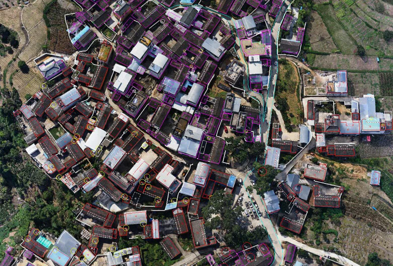
Work Smart, Work Fast

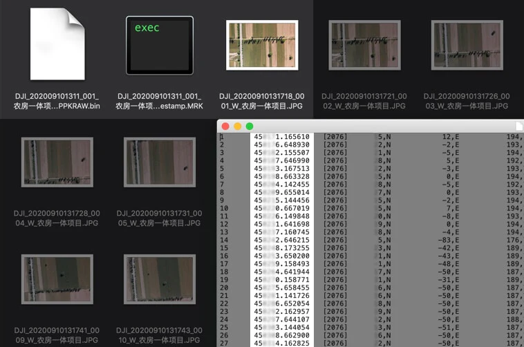
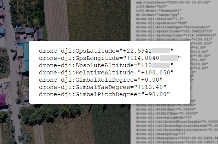
The image metadata contains the camera’s intrinsic and extrinsic parameters and the status of RTK.
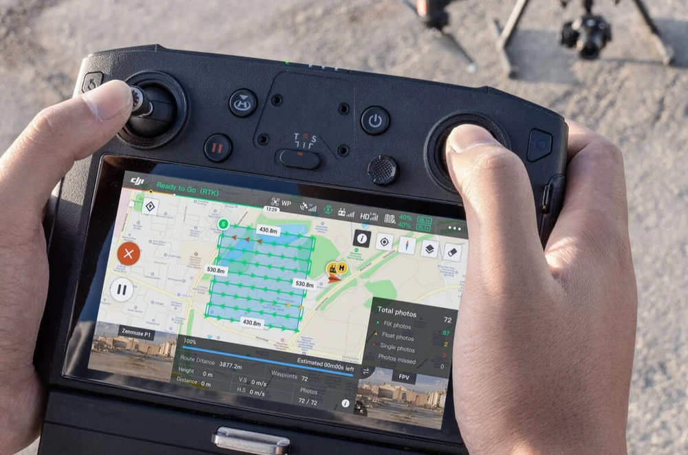
Verify data quality immediately post-flight by checking the position data and number of the images acquired, as well as RTK status and positioning accuracy.
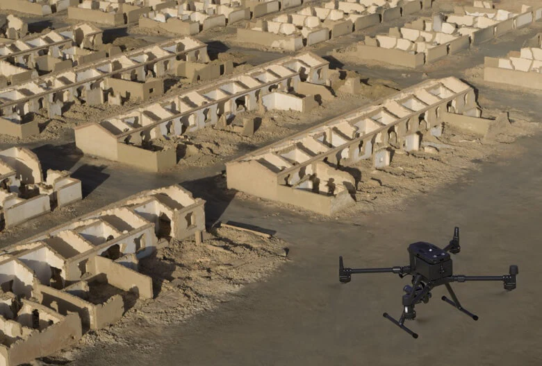
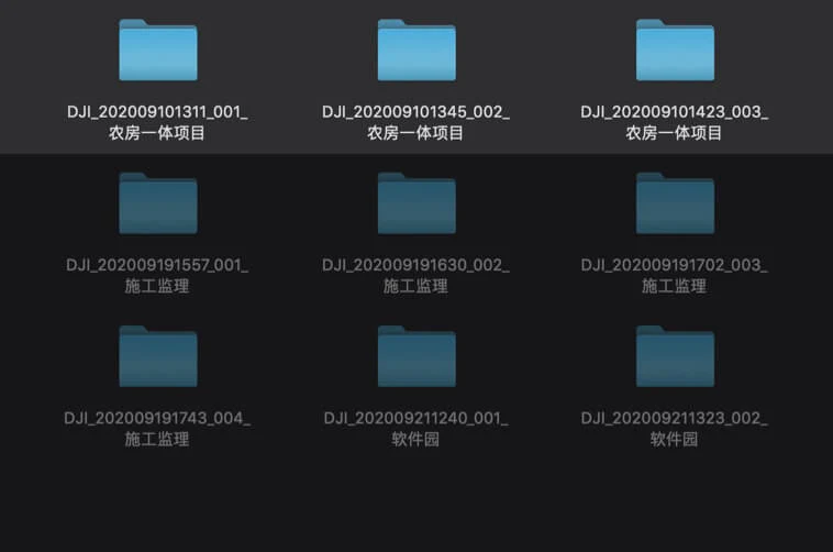
A Mission Mode for Any Scenario

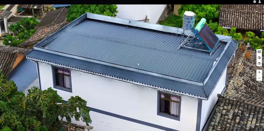

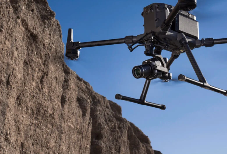
Application Scenarios


Specifications
What's Included
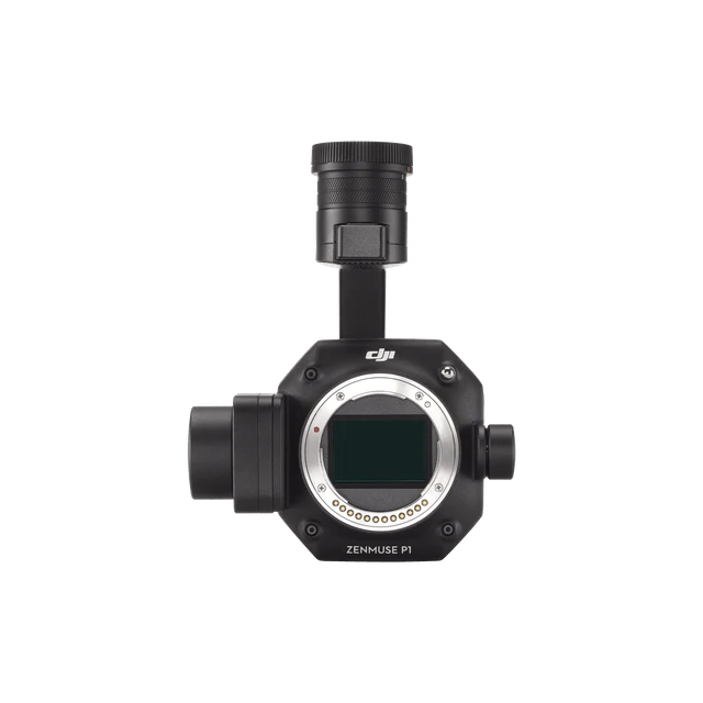
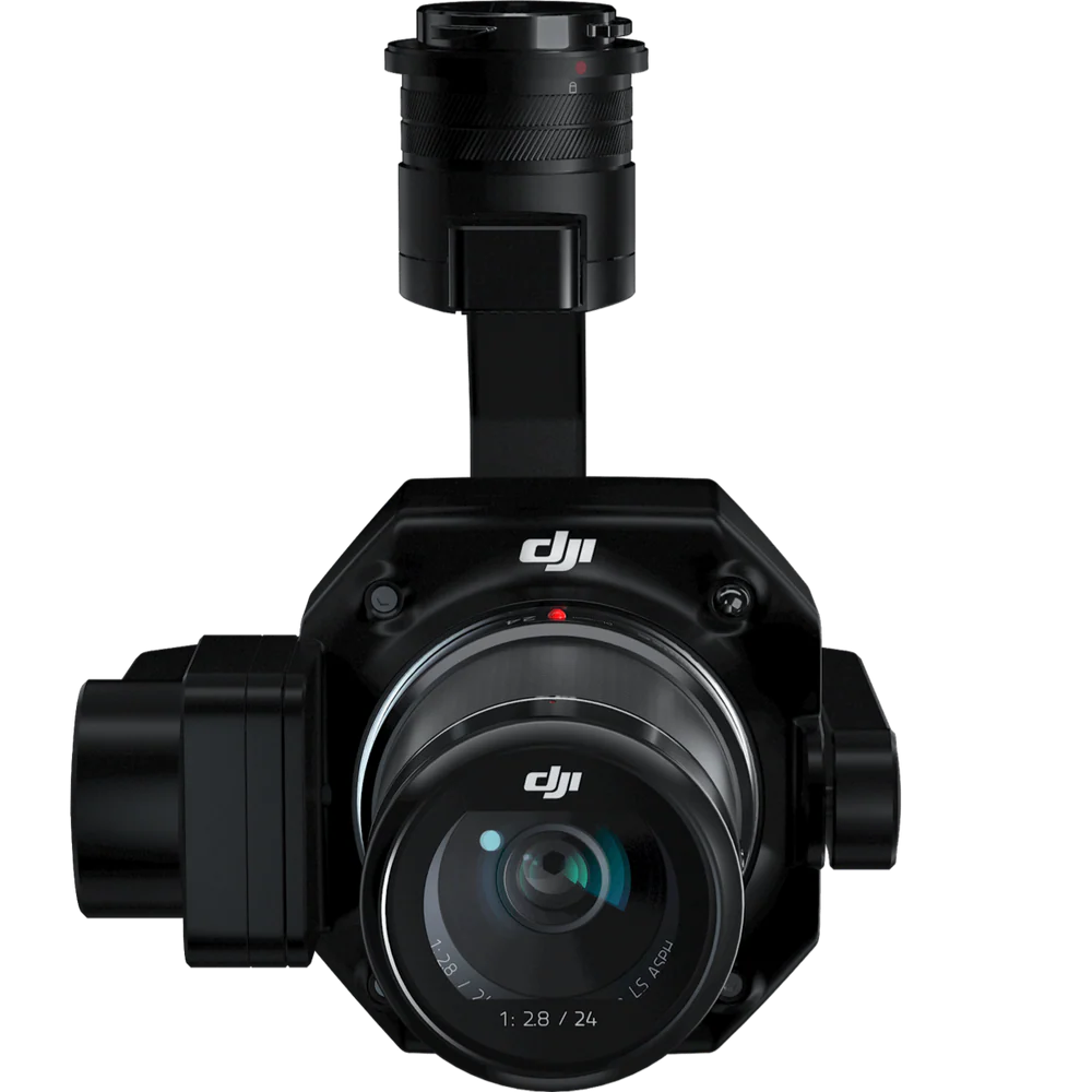
Gimbal & Camera
x 1
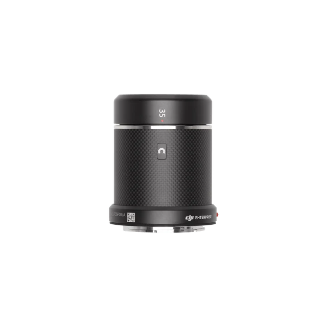
DJI DL 35mm Lens
x 1
SD Card (128GB)
x 1
Storage Case
x 1
Camera Body Cap
x 1
Lens Cleaning Cloth
x 1
Lens Cap
x 1
Lens Rear Cap
x 1